Overview
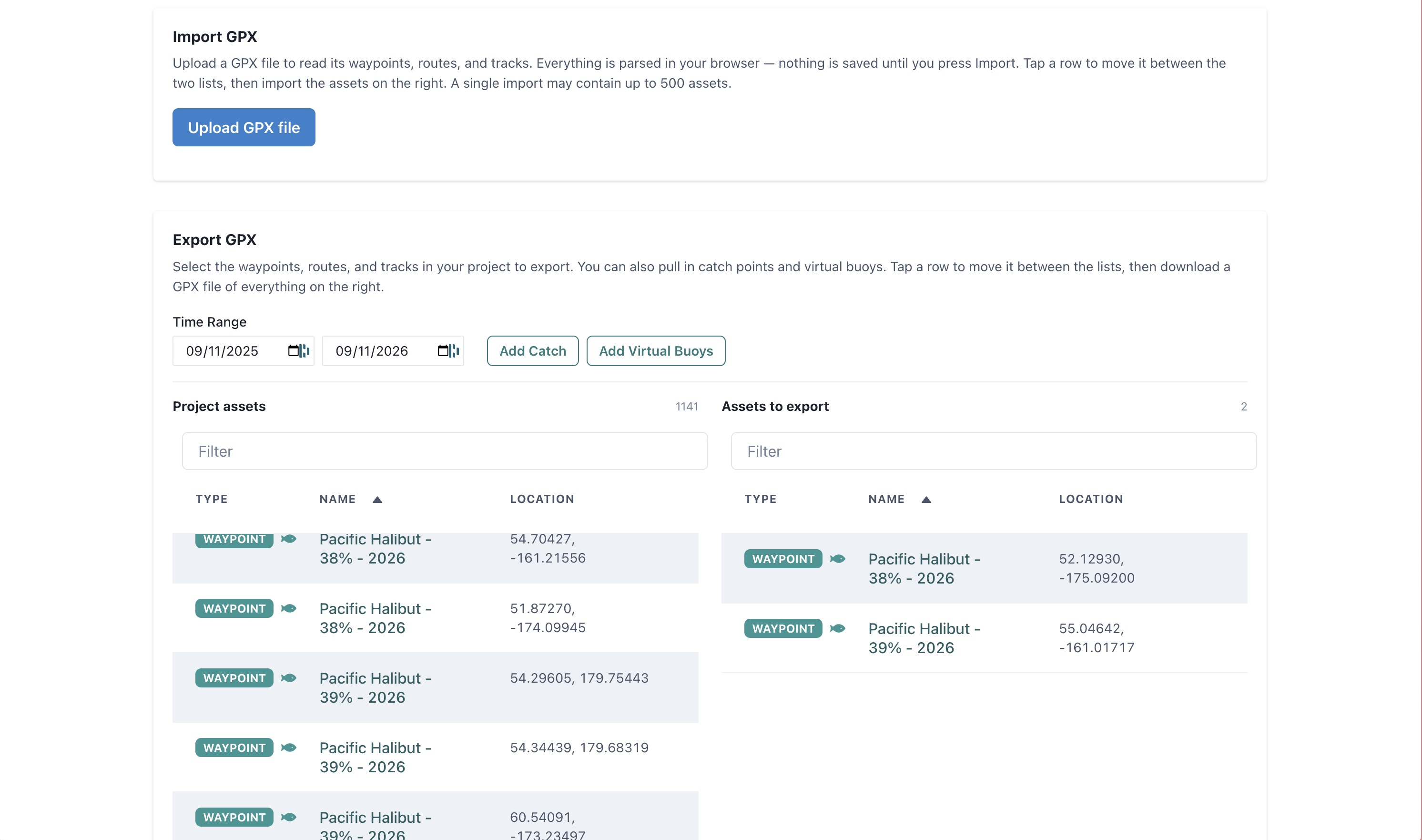
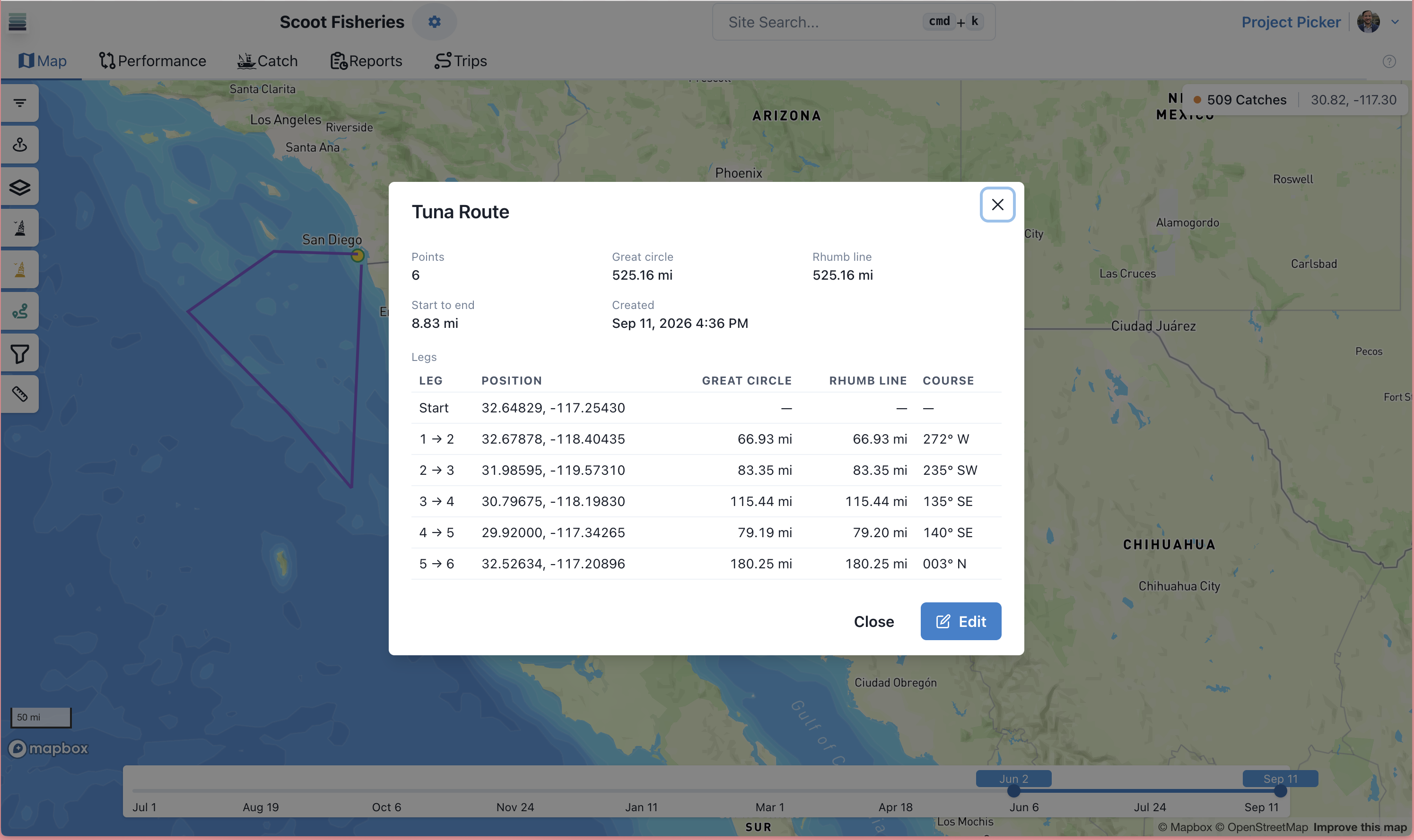
In SeaFarer, you can create, edit, import, and export Waypoints, Routes, and Tracks - the familiar tools you use to mark positions and observations on your chart. You can import GPX assets (GPX is a standard format supported by most chartplotters) or create them directly in SeaFarer. You can export assets you create in SeaFarer to GPX to load into your plotter - you can even export catch with labels describing the species, catch rank, date, etc.
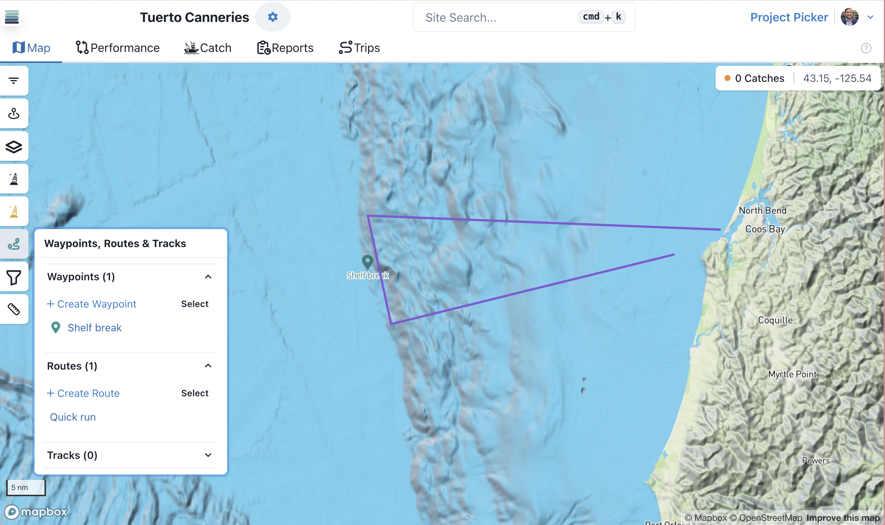
Familiar tools with added power
- ✓Create waypoints and routes directly in SeaFarer
- ✓Import and export GPX files to and from your chartplotter
- ✓Export catch with labels describing the species, catch rank, date, etc
- ✓Manage Waypoints and Routes easily and add new power to your chartplotter
GPX FAQ
Ready to fish smarter?
Start a free trial or apply to the 2026 commercial pilot.