Overview
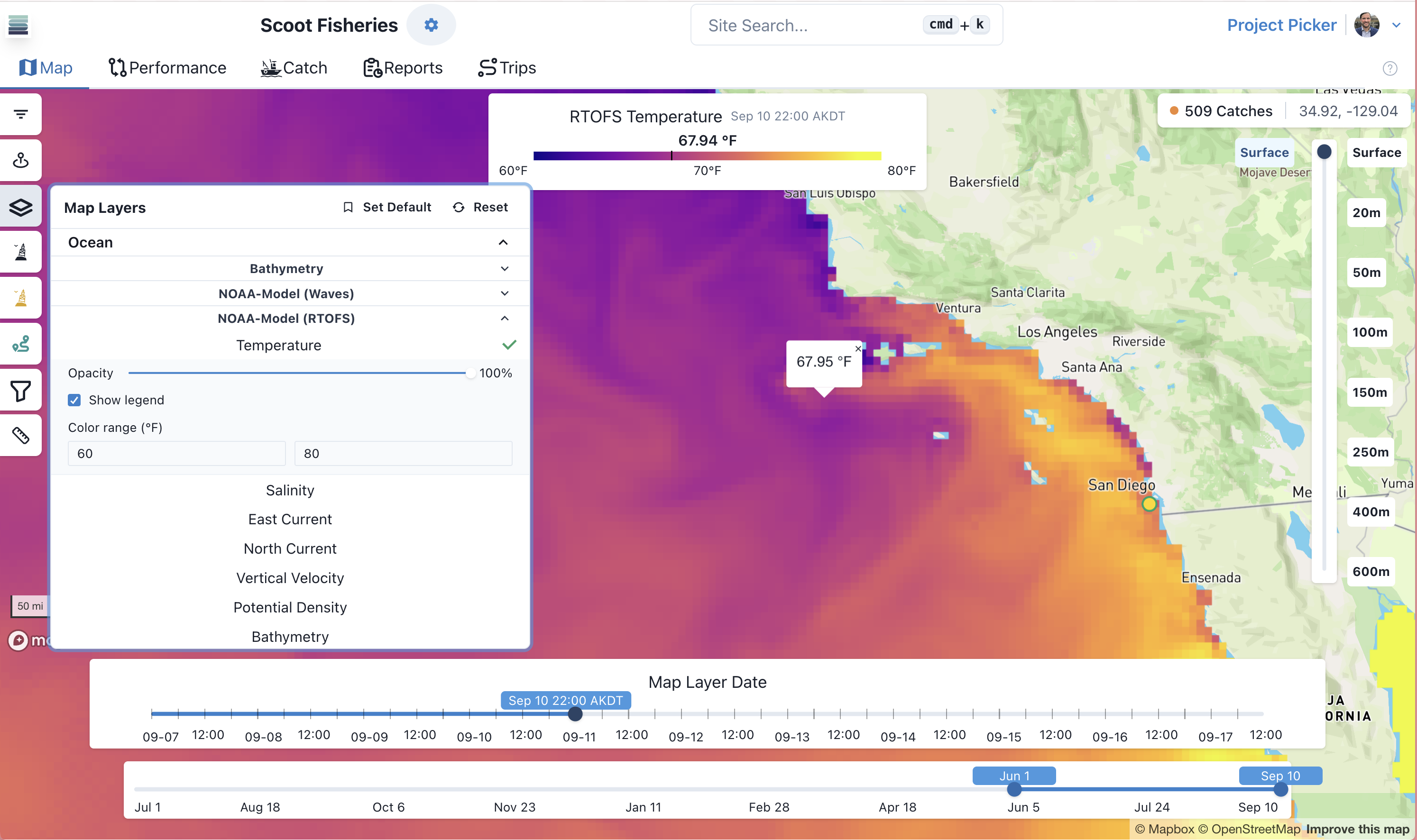
Ocean and atmospheric data from satellite or model sources can be displayed as map layers. In SeaFarer, the user controls layer options like color range and opacity. Easily scout for patterns, trends, or breaks representing target conditions.
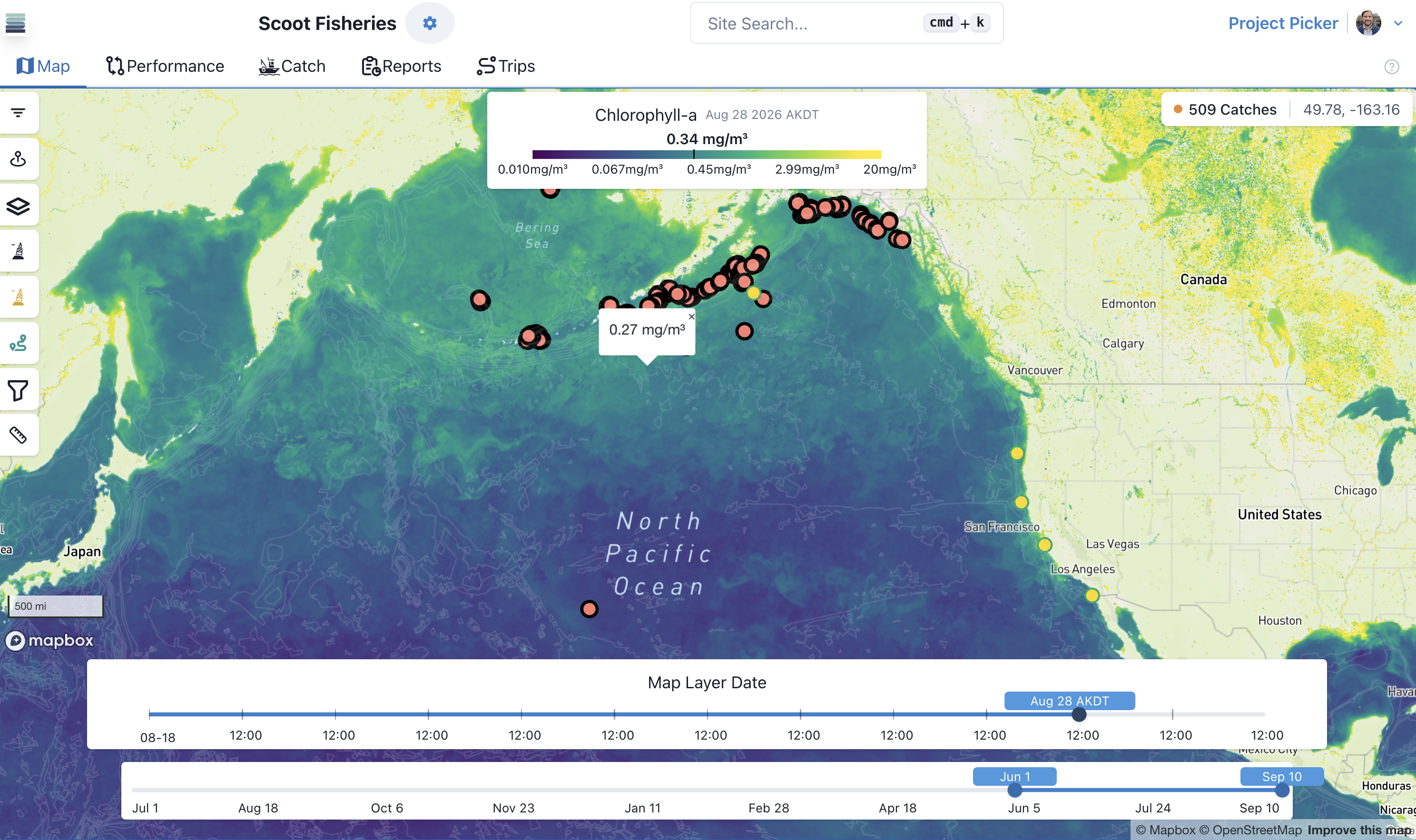
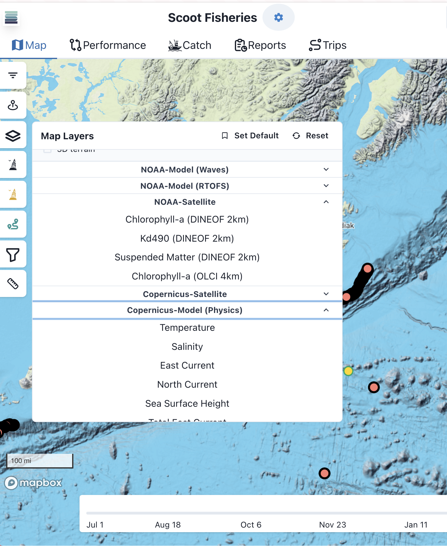
Monitor environmental conditions like never before
- ✓View ocean and weather conditions from surface to seafloor
- ✓Compare predictions from different data providers
- ✓Extensive environmental parameters: ocean color, chlorophyll, SST anomaly, salinity, and more
- ✓See marine life Observations from other SeaFarer users and public GBIF and OBIS records
Map Layers FAQ
Ready to fish smarter?
Start a free trial or apply to the 2026 commercial pilot.