Overview
Drop a Virtual Buoy anywhere on the map to watch ocean conditions, forecasts, and tides—from surface to seafloor. No physical instrument on station required. Use it to check a location before you steam, compare candidate spots, and keep an eye on conditions while you are fishing.
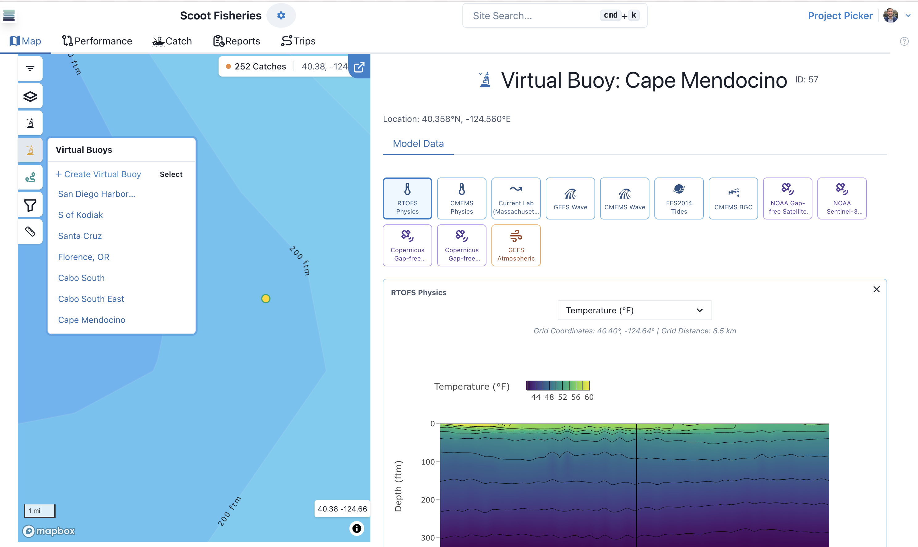
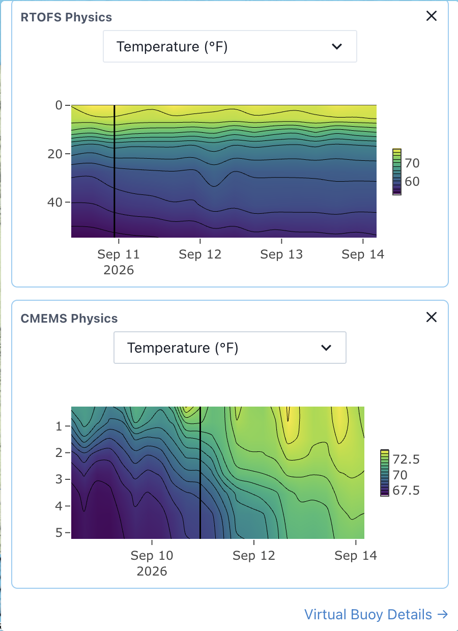
Keep tabs everywhere
- ✓Check recent and forecast conditions at a spot before you leave the dock
- ✓Compare candidate locations without placing physical gear first
- ✓Track tides, forecasts, and conditions on station while you fish
- ✓View ocean conditions from surface to seafloor, not just the surface layer
Virtual Buoys FAQ
Ready to fish smarter?
Start a free trial or apply to the 2026 commercial pilot.